Red Wall, Death Valley
Day 2 (11/18/05)
If you have a GPS, here are some coordinates
1) Where we parked on the road (near mile 19 on the road to Scotty's Castle) N36 50.251 W117 13.832 altitude 400 ft.
2) Mouth of the canyon N36 51.735 W117 12.468 Altitude 1379 ft
Our GPS was a Garmin 60CS and had the National Parks Topo Map loaded. It was very useful but didn't work in the narrow canyons. We also had an avocet altimeter which helped with point finding.
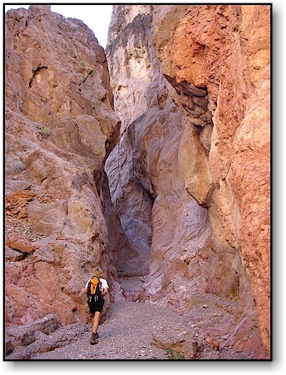
The approach to Red Wall Canyon from the road is a little over 2 miles. There are no trails to the canyon mouth (that we could find). Take water. The approach is through an alluvial fan and you will be walking over loose rocks and gravel. Allow about an hour to get to the canyon mouth. Click on any image for a bigger view.
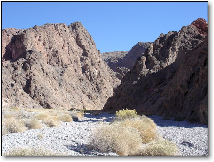 |
View of Red Wall canyon mouth. It bends around to the right as soon as you enter. |
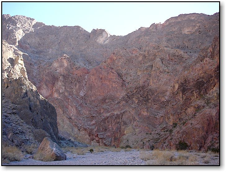 |
View from just inside the canyon |
 |
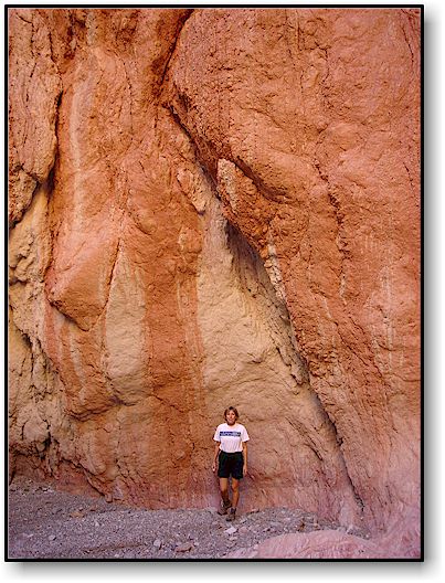
The canyon gets narrow about 1/2 mile in and becomes very interesting. For reference, you can see Barbara walking in the distance. | |
 |
We arrived at the first and most difficult obstacle. It is a dry waterfall with a huge chockstone wedged between the walls. You encounter this at about 9 tenths of a mile (0.9 mi) in from the canyon mouth or about 1/2 mile from the start of the first narrows. The easiest route over this is shown with the wihite line. For reference, Barbara is standing at the bottom of the route line. | |
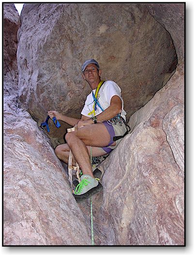 |
Here is Jack, just under the chockstone. He put in a large cam for protection. Climbing shoes are great to have. The crux is the slippery step around to the left of this picture. The rock is slick and angled but has some depressions that offer some value. We would not have climbed this without gear. | |
 |
Barb following and coming around the chockstone, looking at the slick section. | |
 |
Once over the dry waterfall, the stretch of narrows is one of the nicest sections in the whole canyon. The rocks have a wonderful glow and the passageways are very narrow. This lasts for about a tenth of a mile then the canyon opens up again. After hiking another 4 tenths of a mile, you reach the second narrows ( at about 1 1/2 mile in from the mouth). | |
 |
About halfway through the second narrows and at about 2600 feet elevation and some 2 miles in from the mouth, we encountered the second obstacle, a much smaller waterfall but still difficult to climb. With bomber hand and foot holds, we didn't need the rope or shoes. | |
 |
After the 12 foot waterfall, we went another half mile to the end of the second narrows. The canyon opened up for another half mile and we reached the third narrows. It lasted 7 tenths of a mile. That's where we turned around. There was a 4th narrows that we will save for another trip. There were gorgeous views throughout this canyon and no one but us in there that day. We hiked about 4 miles in and reached 3,500 feet elevation. Total round trip from the truck was about 11 or 12 miles. | |
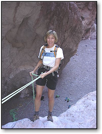 |
Getting out was much easier. Here is Barb repelling the first obstacle. We were able to loop the rope around a huge bolder to avoid leaving gear behind. In our canyon trips in Death Valley we have found that where protection is needed, someone has put in a piton or bolt. Be wary of some of the older slings though and don't hesitate to replace them with some new ones. | |
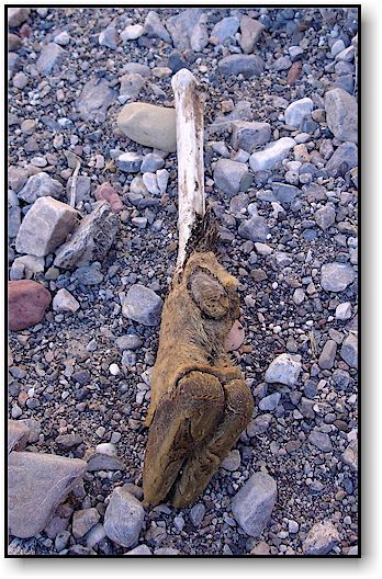 |
You never know what you will find on a canyon hike (here an animal hoof). | |
|
||
|